
Walk a Polk County Street
A useful Polk County street directory begins with the land, not a guess about a household. The Property Appraiser identifies each parcel and assessed owner. GIS Viewer v3 then shows the parcels in their physical order. Official Records supplies deeds and liens, while Elections and dated directories add narrower evidence about people connected to each address. None is a complete resident roll. Each has a distinct date and purpose.
Use one normalized address throughout the search. Keep the parcel identifier, legal description, postal city, actual jurisdiction, and source date in the same notes. That discipline matters in Polk County, where a Lakeland, Winter Haven, or Davenport mailing label may cover land outside that city's limits.
- Normalize the address with USPS, then search the Polk County Property Appraiser by street stem. Save the STRAP or parcel number.
- Open GIS Viewer v3, center on the address, and click adjoining parcels. Record owner and situs fields without treating mailing addresses as occupancy proof.
- Search the owner's name and legal description in the Clerk's Official Records. Follow deeds backward through linked grantors and grantees.
- Ask Polk County Elections for a lawful custom list filtered to the street, municipality, ZIP, and status needed. The public web lookup is for one known voter, not street browsing.
- For an earlier household, consult a reverse or criss-cross directory at a local history desk. Confirm the dated entry with deeds, census records, or an obituary.
Polk Street Directory Parcel Keys
The Polk County Property Appraiser accepts an owner, site address, or parcel/STRAP search. Its parcel record separates the property's physical address from the owner's mail destination. That split prevents a common error: assuming the tax mailing address is the place where an owner lives.
| Search field | Input | Best use |
|---|---|---|
| Owner Name | Last or entity name | Find parcels tied to an assessed owner |
| Site Address | Street number and name | Resolve the land behind one address |
| Parcel or STRAP | County identifier | Keep the same tract linked across systems |
A parcel card can show owner names, mailing address, situs address, legal description, land use, neighborhood code, acreage, homestead fields, sales, and deed references. The assessment roll is current property evidence, not a full list of people at the address.
Browse Polk Streets in GIS
The county's GIS Viewer v3 turns a single address into a street-by-street survey. Search for an address or place, zoom to the parcel, then use identify to inspect each lot in sequence. Layer controls add roads, boundaries, parcels, aerial images, flood information, precincts, and other county context. Measurements and proximity tools help define a block or radius.
The viewer is informational and not a legal survey. Parcel boundaries can also reflect a current replat rather than an older street pattern. Still, it is the fastest way to see adjoining lots and copy identifiers for the Polk County street directory workflow.
Open the Property Appraiser parcel layer to see the public schema behind that map.
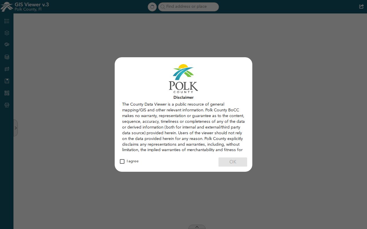
The captured viewer shows the map-centered route from an address to nearby parcels, which can then be checked one at a time.
Mail and Situs Across Polk
Polk parcel data publishes separate owner-mail and property-address fields. A situs address means the physical location of the parcel. A mailing address is where the tax notice goes. It may point to another county, a post-office box, a manager, a trust, or a business office. Even when the two match, the record names an assessed owner rather than every household member.
- Parcel
- A mapped unit of land with a county identifier.
- Situs address
- The physical address assigned to the land or improvement.
- Plat
- A recorded map that lays out lots, blocks, roads, and easements.
- Criss-cross directory
- A dated directory arranged by street and house number instead of surname.
Homestead data is a useful clue that an owner claimed the parcel as a primary home, but it still does not enumerate a household. Treat it as supporting evidence and note the roll year.
Read Polk Parcel Attributes
The county's authoritative parcel service exposes fields for owner name, multiple mail-address lines, mail ZIP, situs number, direction, street, unit, city, property ZIP, land use, neighborhood, acreage, homestead, and exemptions.
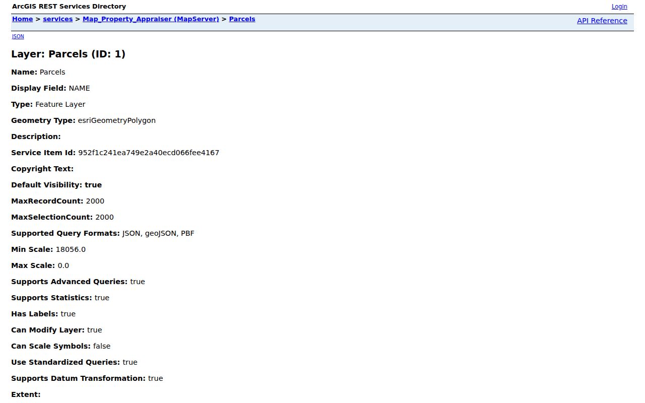
Those distinct fields explain why a careful by-address search records both address types and never merges them into one claim about residency.
Polk Records Indexed by Address
No single Polk County street directory covers owners, voters, permit parties, and past occupants. Match the record to the question, and preserve its date. Ownership is strongest in appraisal and deed records. A voter extract covers registered voters whose fields are public. A permit may name an applicant or contractor who never occupied the site.
| Record Set | Keeper | What It Shows | Access |
|---|---|---|---|
| Property roll | Property Appraiser | Assessed owner, mail and situs addresses, exemptions | Free portal |
| GIS parcel map | Polk County GIS | Parcels along a street and map layers | Free viewer |
| Deeds and liens | Clerk and County Recorder | Recorded parties, dates, book/page, linked instruments | Free index; counter and request options |
| Voter data | Supervisor of Elections | Qualifying public voter fields for a requested street | Custom request with filters and possible fees |
| Permits and code cases | County or correct municipality | Address, applicant, contractor, case, order, or lien | Portal, counter, or public-record request |
| Reverse directory | History Center or local library | Dated occupant or business by house number | Primarily onsite or through staff |
The parcel number ties appraisal, GIS, deeds, plats, and many permits together. The normalized street name connects that chain to Elections requests and reverse directories. Where names conflict, the legal description and recording dates are stronger than spelling alone.
Trace Polk Street Owners
The Polk County Clerk of the Circuit Court & Comptroller is also the county recorder. Its Official Records search covers documents recorded from January 1, 1957. Search a current owner as grantee, open the deed, then search the seller as grantee in an earlier date range. Book/page, file number, document type, party role, recording date, and linked instruments help keep one property chain distinct from another.
For earlier deeds, use the Clerk counter, microfilm, the Polk County History Center, State Archives, or FamilySearch resources identified by local staff. A deed transfers an interest in land. It does not state that each grantee moved into the home.
Polk Postal Cities Can Mislead
Polk County has 17 municipalities plus extensive unincorporated land. The postal city on an envelope does not decide which government holds a permit or code case. First inspect the parcel's jurisdiction. Send a Lakeland city parcel to Lakeland, a Winter Haven city parcel to Winter Haven, and an unincorporated parcel to Polk County.
This geographic rule is especially important in northeast Polk and around the edges of fast-growing delivery areas. A Davenport postal address may sit far beyond the older municipal core. Lakeland and Winter Haven postal labels also extend beyond city limits. The parcel polygon, not the mailing label, selects the custodian.
Polk Street Permits and Cases
Once jurisdiction is known, permits and code files can add a dated event to the by-address chain. A municipal building division may index address, parcel ID, permit number, applicant, contractor, permit type, status, and issue or final dates. Code enforcement records can name the property address, owner or respondent, alleged violation, hearing, order, and lien. A recorded code lien may also appear in Polk Official Records.
Polk County does not publish one portal that covers all 17 municipalities. Check the city custodian for a parcel inside city limits and Polk County for an unincorporated parcel. If no portal exists, request the narrow record by address, parcel number, record type, and date range. Florida requests do not require magic words or a mandatory form, but a focused description helps staff find the file and estimate any copy cost.
Permit names require care. The applicant or contractor may be connected only to the work. Compare the permit date and parcel owner before adding any person to street-directory notes.
Request Polk Voters by Street
The state voter lookup verifies one known registrant and requires identifying inputs. It cannot browse a street. Polk Elections instead accepts a custom voter-list request with criteria such as precinct, municipality, community development district, party, status, and voting history. Ask for the normalized street, municipality or unincorporated area, ZIP, desired public fields, and whether inactive voters are needed.
The office states that it reviews and responds in one to two business days. Printed lists cost $0.15 per page after the first 25 pages, mailing labels cost $9 per 1,000 plus $7 processing, and mailed print material starts with a $7.50 mailing charge. More than $10 must be prepaid. Electronic fulfillment may avoid print costs.
A street extract lists registered voters subject to Florida exclusions. It omits nonvoters and protected addresses, and it is never a complete account of adults or households.
Historical Polk Streets by Number
A reverse directory arranges entries by street and ascending house number. That makes it the historical counterpart to a modern parcel map. Polk County's documented local holdings include 1925 and 1926 city directories at the History Center, while the Lakeland History Room holds local directories whose full year run is not published online. The Polk County city directory collection is the better place to interpret publishers, abbreviations, and year-to-year household changes.
Old and current address forms may diverge through annexation, subdivision plats, road changes, or postal naming. No inspected official source establishes one countywide renumbering year. Check plats, dated maps, and the directory's street section before treating two address forms as different places.
Limits of Polk Street Records
A street directory assembled from official sources still has gaps. Property rolls name owners, which may be trusts or companies. A tax notice can go to a different address. Homestead supports owner occupancy but does not name everyone in the home. Voter data excludes nonregistrants and shields protected records. Permits identify applicants and contractors, not necessarily occupants. Driver address data is closed, and utility or delivery customer lists are not substitutes for a public resident roll.
Dates matter just as much as names. A GIS parcel shows today's lot pattern, while an older directory may reflect a street before a replat or annexation. State the record type and date beside each name, and describe the connection as owner, voter, recorded party, or directory occupant.
Lawful use. Use Polk County address records only for lawful personal research. Never use a street search to stalk, harass, intimidate, or harm anyone.